library(sf)Linking to GEOS 3.14.1, GDAL 3.12.1, PROJ 9.7.1; sf_use_s2() is TRUElibrary(ggplot2)library(sf)Linking to GEOS 3.14.1, GDAL 3.12.1, PROJ 9.7.1; sf_use_s2() is TRUElibrary(ggplot2)link <- "https://data.opendevelopmentmekong.net/dataset/999c96d8-fae0-4b82-9a2b-e481f6f50e12/resource/2818c2c5-e9c3-440b-a9b8-3029d7298065/download/diaphantinhenglish.geojson?fbclid=IwAR1coUVLkuEoJRsgaH81q6ocz1nVeGBirqpKRBN8WWxXQIJREUL1buFi1eE"
vn_province <- sf::st_read(link)Reading layer `OGRGeoJSON' from data source
`https://data.opendevelopmentmekong.net/dataset/999c96d8-fae0-4b82-9a2b-e481f6f50e12/resource/2818c2c5-e9c3-440b-a9b8-3029d7298065/download/diaphantinhenglish.geojson?fbclid=IwAR1coUVLkuEoJRsgaH81q6ocz1nVeGBirqpKRBN8WWxXQIJREUL1buFi1eE'
using driver `GeoJSON'
Simple feature collection with 63 features and 2 fields
Geometry type: MULTIPOLYGON
Dimension: XY
Bounding box: xmin: 102.1421 ymin: 6.953306 xmax: 116.9473 ymax: 23.3939
Geodetic CRS: WGS 84### OUCRU coordinate
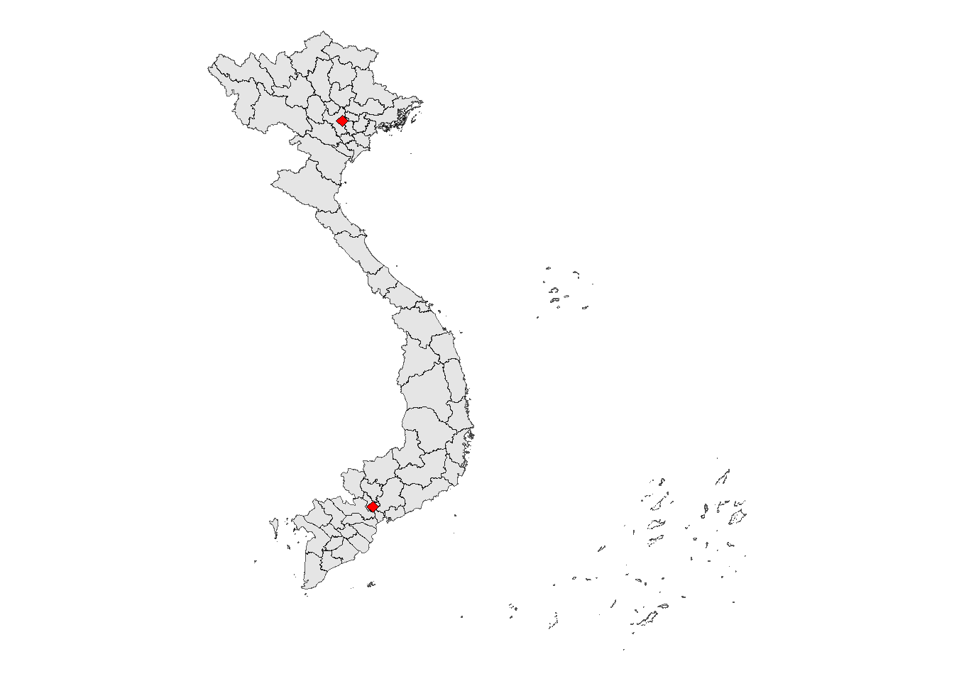
oucru_coord <- data.frame(long = c(106.6784,105.8389),
lat = c(10.7538,21.0023)) %>%
st_as_sf(coords = c("long", "lat"), crs = 4326)ggplot() +
geom_sf(data = vn_province)+
geom_sf(data = oucru_coord, shape = 23,
fill = "red", size = 2)+
theme_void()